River Basin Bead Atlas
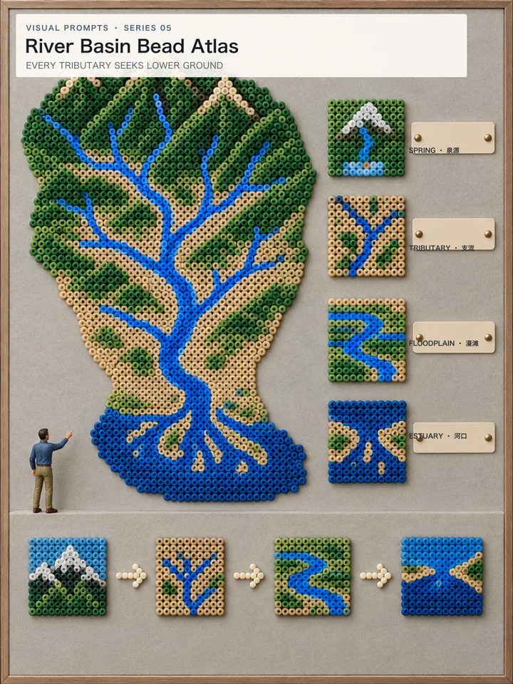
A blue river network runs from green ridges to an estuary while four modules explain watershed stages.
UniversalChatGPT ImagesGemini / ImagenMidjourneyFLUXSDXL
Checking membership
Public method summary
How River Basin Bead Atlas builds its image
This work belongs to the “Earth & life science” method and uses physical watershed bead atlas. The notes below explain public image logic and do not contain the members-only prompt.- Visual focus
- Explain earth or life systems through visible structure and process, separating factual, temporal and speculative layers.
- Composition method
- Use sections, cycles or staged sequences to connect phenomena across scales with a clear starting point and direction.
- Review evidence
- Review strata, organs, material flows and environmental conditions against basic scientific relationships.
AI-assisted visual, directed, edited and reviewed by Visual Prompts. Factual material should be checked against professional sources. Editorial principles ·