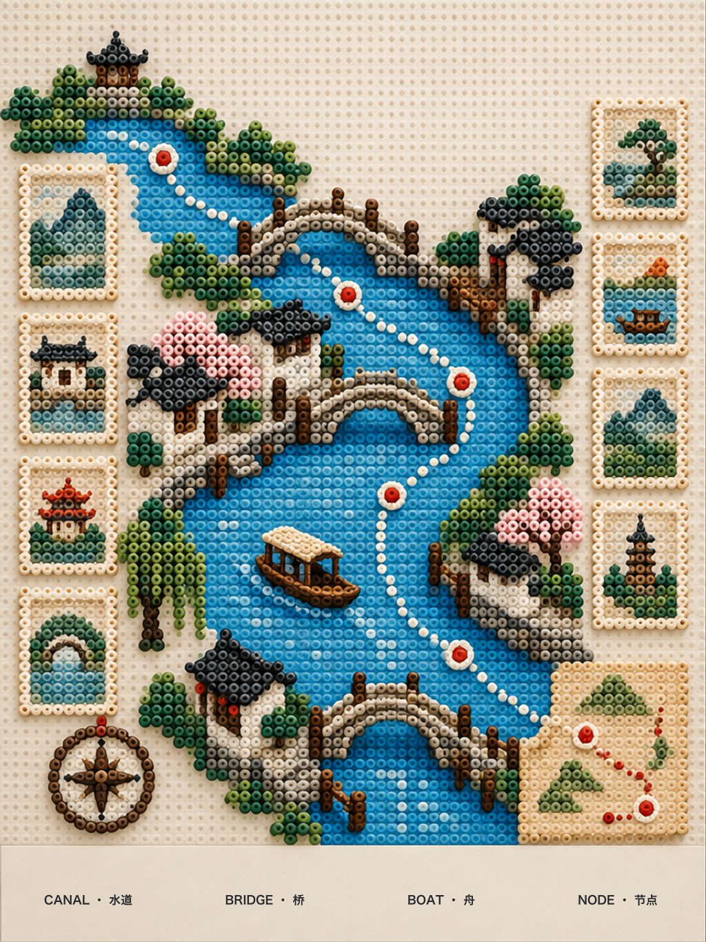
Canal Route Bead Atlas
Blue canal, three bridges, boat and route nodes connect into a tactile fuse-bead travel map of a waterside town.
UniversalChatGPT ImagesGemini / ImagenMidjourneyFLUXSDXL
Checking membership
Public method summary
How Canal Route Bead Atlas builds its image
This work belongs to the “City keepsakes” method and uses travel destination bead atlas. The notes below explain public image logic and do not contain the members-only prompt.- Visual focus
- Preserve the place’s clearest silhouette, route and local material so recognition comes from spatial character rather than added decoration.
- Composition method
- Use one landmark as the visual anchor, then connect depth with a street, waterway or transit line that makes scale legible.
- Review evidence
- Check landmark silhouette, route continuity and material identity; avoid combining unrelated city symbols.
AI-assisted visual, directed, edited and reviewed by Visual Prompts. Factual material should be checked against professional sources. Editorial principles ·